
Varbergs kommun topographic map
Interactive map
Click on the map to display elevation.
About this map
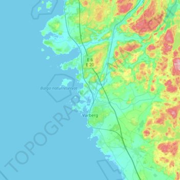
Name: Varbergs kommun topographic map, elevation, terrain.
Location: Varbergs kommun, Comté de Halland, Götaland, 43295, Suède (56.99000 12.09000 57.31000 12.41000)
Average elevation: 26 m
Minimum elevation: -1 m
Maximum elevation: 185 m
Other topographic maps
Click on a map to view its topography, its elevation and its terrain.
Halmstad
Suède > Comté de Halland > Halmstad
Halmstad, Comté de Halland, Götaland, 302 42, Suède
Average elevation: 38 m