
Reedsville topographic map
Interactive map
Click on the map to display elevation.
About this map
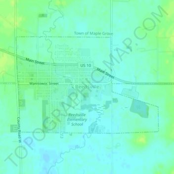
Name: Reedsville topographic map, elevation, terrain.
Location: Reedsville, Manitowoc County, Wisconsin, United States (44.14492 -87.96448 44.16064 -87.93356)
Average elevation: 253 m
Minimum elevation: 248 m
Maximum elevation: 261 m