
玉渊潭公园 topographic map
Interactive map
Click on the map to display elevation.
About this map
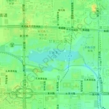
Name: 玉渊潭公园 topographic map, elevation, terrain.
Location: 玉渊潭公园, 甘家口街道, 海淀区, 北京市, 中国 (39.91145 116.30458 39.92011 116.32813)
Average elevation: 56 m
Minimum elevation: 45 m
Maximum elevation: 67 m
Other topographic maps
Click on a map to view its topography, its elevation and its terrain.
北京西山国家森林公园
北京西山国家森林公园, 红枫路, 香山街道, 南辛村, 海淀区, 北京市, 100094, 中国
Average elevation: 247 m