
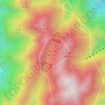
长龙山抽水蓄能电站上水库 topographic map
Interactive map
Click on the map to display elevation.
About this map
Name: 长龙山抽水蓄能电站上水库 topographic map, elevation, terrain.
Location: 长龙山抽水蓄能电站上水库, 天荒坪镇, 安吉县, 湖州市, 浙江省, 中国 (30.47049 119.62242 30.47694 119.62824)
Average elevation: 774 m
Minimum elevation: 230 m
Maximum elevation: 1,153 m