
Thank you for supporting this site ❤️
Make a donation
Make a donation
Santo Tomao topographic map
Click on the map to display elevation.
Thank you for supporting this site ❤️
Make a donation
Make a donation
About this map
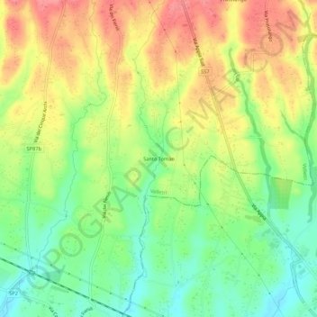
Name: Santo Tomao topographic map, elevation, terrain.
Location: Santo Tomao, Velletri, Roma, Lazio, Italia (41.60339 12.76462 41.64339 12.80462)
Average elevation: 121 m
Minimum elevation: 82 m
Maximum elevation: 162 m
Thank you for supporting this site ❤️
Make a donation
Make a donation