
Pic d'Arradoy topographic map
Interactive map
Click on the map to display elevation.
About this map
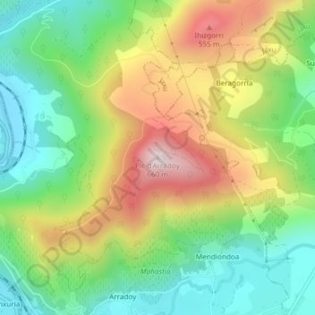
Name: Pic d'Arradoy topographic map, elevation, terrain.
Average elevation: 334 m
Minimum elevation: 133 m
Maximum elevation: 628 m
Other topographic maps
Click on a map to view its topography, its elevation and its terrain.
Elkegaraya
France > Nouvelle-Aquitaine > Pyrénées-Atlantiques > Ispoure
Elkegaraya, Ispoure, Bayonne, Pyrénées-Atlantiques, Nouvelle-Aquitaine, France métropolitaine, 64220, France
Average elevation: 237 m