
Thank you for supporting this site ❤️
Make a donation
Make a donation
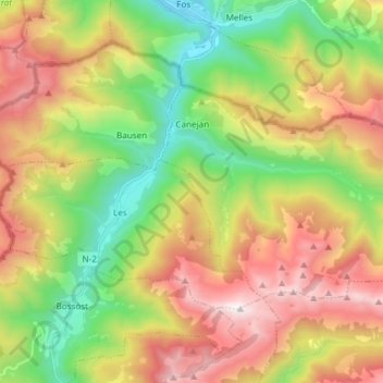
Canejan topographic map
Click on the map to display elevation.
Thank you for supporting this site ❤️
Make a donation
Make a donation
Canejan
Canejan liegt am rechten Ufer der Garonne in den Pyrenäen an der französischen Grenze in einer Höhe von ca. 905 m. Im Gemeindegebiet liegt die Bergspitze des Tuc d’Ermèr mit 2425 m.
Thank you for supporting this site ❤️
Make a donation
Make a donation
About this map
Name: Canejan topographic map, elevation, terrain.
Location: Canejan, Arantal, Lleida, Katalonien, 25548, Spanien (42.78811 0.72779 42.84895 0.87729)
Average elevation: 1,397 m
Minimum elevation: 539 m
Maximum elevation: 2,504 m
Thank you for supporting this site ❤️
Make a donation
Make a donation