
Sacsa topographic map
Interactive map
Click on the map to display elevation.
About this map
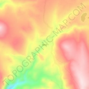
Name: Sacsa topographic map, elevation, terrain.
Location: Sacsa, Provincia de Lucanas, Ayacucho, Perú (-14.68636 -73.96840 -14.64636 -73.92840)
Average elevation: 4,338 m
Minimum elevation: 4,122 m
Maximum elevation: 4,458 m