
Thank you for supporting this site ❤️
Make a donation
Make a donation
West Union topographic map
Click on the map to display elevation.
Thank you for supporting this site ❤️
Make a donation
Make a donation
About this map
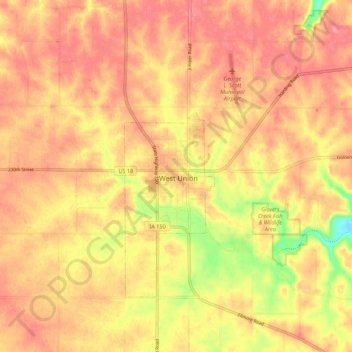
Name: West Union topographic map, elevation, terrain.
Location: West Union, Fayette County, Iowa, 52175-1269, United States (42.92278 -91.84822 43.00278 -91.76822)
Average elevation: 357 m
Minimum elevation: 300 m
Maximum elevation: 383 m
Thank you for supporting this site ❤️
Make a donation
Make a donation