
Thinabdher topographic map
Interactive map
Click on the map to display elevation.
About this map
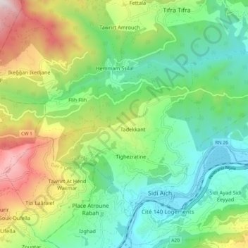
Name: Thinabdher topographic map, elevation, terrain.
Location: Thinabdher, Daïra Sidi-Aïch, Béjaïa, 06720, Algérie (36.61122 4.65236 36.65461 4.74252)
Average elevation: 444 m
Minimum elevation: 74 m
Maximum elevation: 1,205 m