
Northport topographic map
Interactive map
Click on the map to display elevation.
About this map
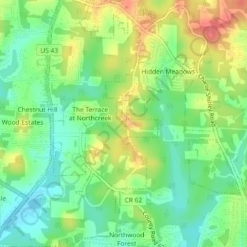
Name: Northport topographic map, elevation, terrain.
Location: Northport, Tuscaloosa County, Alabama, United States (33.27324 -87.59013 33.27382 -87.58935)
Average elevation: 86 m
Minimum elevation: 58 m
Maximum elevation: 123 m
Other topographic maps
Click on a map to view its topography, its elevation and its terrain.
Northport
United States > Alabama > Tuscaloosa County > Northport
Northport, Tuscaloosa County, Alabama, United States
Average elevation: 89 m
Indian Lake
United States > Alabama > Tuscaloosa County > Northport > Indian Lake
Indian Lake, Northport, Tuscaloosa County, Alabama, 35406, United States
Average elevation: 79 m