
Patuxent River topographic map
Interactive map
Click on the map to display elevation.
About this map
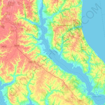
Name: Patuxent River topographic map, elevation, terrain.
Average elevation: 25 m
Minimum elevation: -3 m
Maximum elevation: 64 m
Other topographic maps
Click on a map to view its topography, its elevation and its terrain.
Johnstown
United States > Maryland > Calvert County > Solomons
Johnstown, Solomons, Calvert County, Maryland, 20688, United States
Average elevation: 3 m