
Boisemont topographic map
Interactive map
Click on the map to display elevation.
About this map
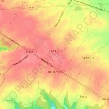
Name: Boisemont topographic map, elevation, terrain.
Average elevation: 139 m
Minimum elevation: 91 m
Maximum elevation: 158 m
Other topographic maps
Click on a map to view its topography, its elevation and its terrain.
Corny
France > Normandie > Eure > Frenelles-en-Vexin
Corny, Frenelles-en-Vexin, Les Andelys, Eure, Normandie, France métropolitaine, 27700, France
Average elevation: 129 m