
Manolich topographic map
Interactive map
Click on the map to display elevation.
About this map
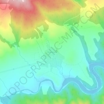
Name: Manolich topographic map, elevation, terrain.
Location: Manolich, Sungurlare, Burgas, 8453, Bulgaria (42.85279 26.78250 42.89279 26.82250)
Average elevation: 353 m
Minimum elevation: 248 m
Maximum elevation: 588 m