
Bogalur topographic map
Interactive map
Click on the map to display elevation.
About this map
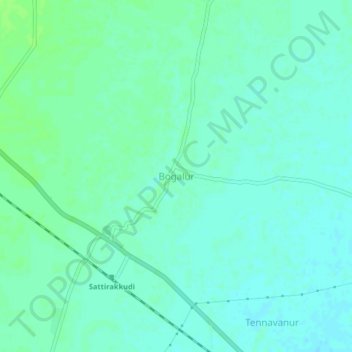
Name: Bogalur topographic map, elevation, terrain.
Average elevation: 18 m
Minimum elevation: 14 m
Maximum elevation: 24 m
Other topographic maps
Click on a map to view its topography, its elevation and its terrain.
Partibanur
India > Tamil Nadu > Paramakudi
Partibanur, Paramakudi, Ramanathapuram District, Tamil Nadu, 623608, India
Average elevation: 56 m
Kallikudi
India > Tamil Nadu > Paramakudi > Kallikudi
Kallikudi, Paramakudi, Ramanathapuram District, Tamil Nadu, India
Average elevation: 59 m