
Thank you for supporting this site ❤️
Make a donation
Make a donation
Bagariyavas topographic map
Click on the map to display elevation.
Thank you for supporting this site ❤️
Make a donation
Make a donation
About this map
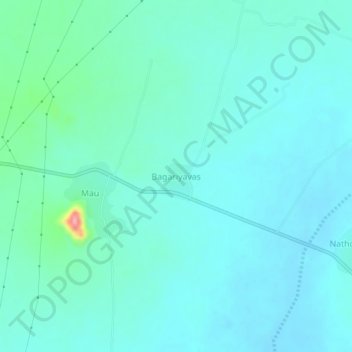
Name: Bagariyavas topographic map, elevation, terrain.
Location: Bagariyavas, Sri Madhopur Tehsil, Sikar, Rajasthan, India (27.40941 75.63289 27.44941 75.67289)
Average elevation: 503 m
Minimum elevation: 486 m
Maximum elevation: 601 m
Thank you for supporting this site ❤️
Make a donation
Make a donation