
Troy topographic map
Interactive map
Click on the map to display elevation.
About this map
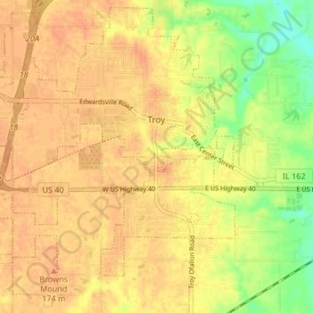
Name: Troy topographic map, elevation, terrain.
Location: Troy, Madison County, Illinois, United States (38.69798 -89.93313 38.74791 -89.86634)
Average elevation: 166 m
Minimum elevation: 140 m
Maximum elevation: 178 m