
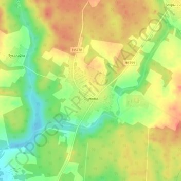
Семково topographic map
Interactive map
Click on the map to display elevation.
About this map
Name: Семково topographic map, elevation, terrain.
Average elevation: 272 m
Minimum elevation: 243 m
Maximum elevation: 294 m
Other topographic maps
Click on a map to view its topography, its elevation and its terrain.
Ольховец
Беларусь > Минская область > Логойский район > Беларучский сельский Совет
Ольховец, Беларучский сельский Совет, Логойский район, Минская область, Беларусь
Average elevation: 293 m