
Thank you for supporting this site ❤️
Make a donation
Make a donation
Elshout topographic map
Click on the map to display elevation.
Thank you for supporting this site ❤️
Make a donation
Make a donation
About this map
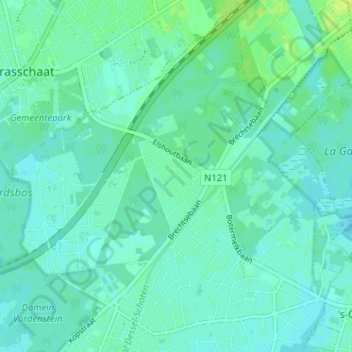
Name: Elshout topographic map, elevation, terrain.
Location: Elshout, Schoten, Antwerpen, Vlaanderen, 2900, België (51.25814 4.49965 51.29814 4.53965)
Average elevation: 11 m
Minimum elevation: 7 m
Maximum elevation: 19 m
Thank you for supporting this site ❤️
Make a donation
Make a donation