
Victor Raul Haya de La Torre topographic map
Interactive map
Click on the map to display elevation.
About this map
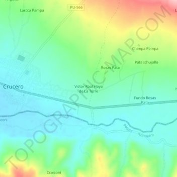
Name: Victor Raul Haya de La Torre topographic map, elevation, terrain.
Average elevation: 4,172 m
Minimum elevation: 4,125 m
Maximum elevation: 4,282 m