
Franquelin topographic map
Interactive map
Click on the map to display elevation.
About this map
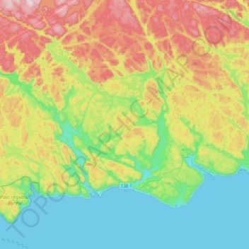
Name: Franquelin topographic map, elevation, terrain.
Location: Franquelin, Manicouagan, Côte-Nord, Québec, G0H 1E0, Canada (49.26862 -68.04992 49.44446 -67.64956)
Average elevation: 166 m
Minimum elevation: -4 m
Maximum elevation: 470 m