
Custer County topographic map
Interactive map
Click on the map to display elevation.
About this map
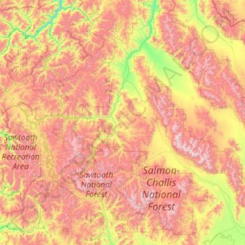
Name: Custer County topographic map, elevation, terrain.
Location: Custer County, Idaho, Vereinigte Staaten von Amerika (43.56882 -115.30508 44.87912 -113.31569)
Average elevation: 2,263 m
Minimum elevation: 1,279 m
Maximum elevation: 3,707 m