
Thank you for supporting this site ❤️
Make a donation
Make a donation
Dexter topographic map
Click on the map to display elevation.
Thank you for supporting this site ❤️
Make a donation
Make a donation
About this map
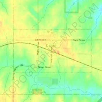
Name: Dexter topographic map, elevation, terrain.
Location: Dexter, Union Township, Dallas County, Iowa, United States (41.50920 -94.24145 41.52165 -94.21412)
Average elevation: 343 m
Minimum elevation: 324 m
Maximum elevation: 357 m
Thank you for supporting this site ❤️
Make a donation
Make a donation
Other topographic maps
Click on a map to view its topography, its elevation and its terrain.