
Pinneberg topographic map
Interactive map
Click on the map to display elevation.
About this map
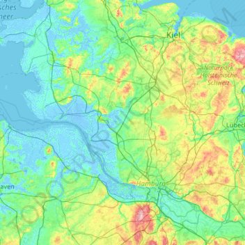
Name: Pinneberg topographic map, elevation, terrain.
Location: Pinneberg, Schleswig-Holstein, Germany (53.55759 7.86484 54.19172 9.98335)
Average elevation: 19 m
Minimum elevation: -5 m
Maximum elevation: 147 m