
Preston topographic map
Interactive map
Click on the map to display elevation.
About this map
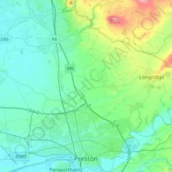
Name: Preston topographic map, elevation, terrain.
Average elevation: 58 m
Minimum elevation: 1 m
Maximum elevation: 308 m
Ein bekanntes Wahrzeichen Prestons ist die römisch-katholische Saint Walburge’s Church, die im neogotischen Stil von Joseph Hansom geplant und 1854 vollendet wurde. Mit ihren 94 m Höhe besitzt sie einen der höchsten Kirchtürme Englands.