
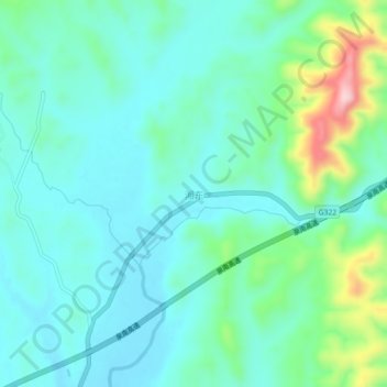
湘东 topographic map
Interactive map
Click on the map to display elevation.
About this map
Name: 湘东 topographic map, elevation, terrain.
Location: 湘东, 茶陵县, 株洲市, 湖南省, 中国 (26.97028 113.79350 27.01028 113.83350)
Average elevation: 202 m
Minimum elevation: 149 m
Maximum elevation: 397 m