
Hellevoetsluis topographic map
Interactive map
Click on the map to display elevation.
About this map
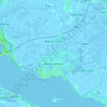
Name: Hellevoetsluis topographic map, elevation, terrain.
Location: Hellevoetsluis, Holanda Meridional, Países Bajos (51.80502 4.03984 51.88160 4.19826)
Average elevation: 0 m
Minimum elevation: -4 m
Maximum elevation: 15 m