
Thank you for supporting this site ❤️
Make a donation
Make a donation
Peral topographic map
Click on the map to display elevation.
Thank you for supporting this site ❤️
Make a donation
Make a donation
About this map
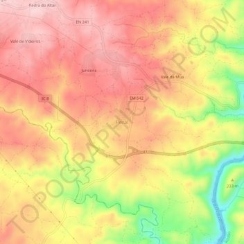
Name: Peral topographic map, elevation, terrain.
Location: Peral, Proença-a-Nova, Castelo Branco, Portugal (39.67119 -7.82141 39.71119 -7.78141)
Average elevation: 247 m
Minimum elevation: 105 m
Maximum elevation: 328 m
Thank you for supporting this site ❤️
Make a donation
Make a donation
Other topographic maps
Click on a map to view its topography, its elevation and its terrain.