
Inčukalna pagasts topographic map
Interactive map
Click on the map to display elevation.
About this map
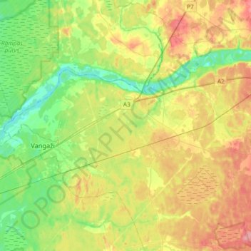
Name: Inčukalna pagasts topographic map, elevation, terrain.
Location: Inčukalna pagasts, Siguldas novads, Lijfland, Letland (57.05784 24.49841 57.15142 24.78696)
Average elevation: 38 m
Minimum elevation: 3 m
Maximum elevation: 86 m
Other topographic maps
Click on a map to view its topography, its elevation and its terrain.
Sunīši
Letland > Lijfland > Siguldas novads > Krimuldas pagasts
Sunīši, Krimuldas pagasts, Siguldas novads, Lijfland, Letland
Average elevation: 49 m