
花桥镇 topographic map
Interactive map
Click on the map to display elevation.
About this map
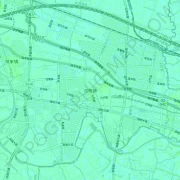
Name: 花桥镇 topographic map, elevation, terrain.
Location: 花桥镇, 苏州市, 江苏省, 中国 (31.26384 121.04439 31.34384 121.12439)
Average elevation: 4 m
Minimum elevation: 1 m
Maximum elevation: 6 m
Other topographic maps
Click on a map to view its topography, its elevation and its terrain.