
Academic Hights topographic map
Interactive map
Click on the map to display elevation.
About this map
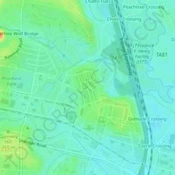
Name: Academic Hights topographic map, elevation, terrain.
Average elevation: 348 m
Minimum elevation: 337 m
Maximum elevation: 380 m
Other topographic maps
Click on a map to view its topography, its elevation and its terrain.
Lawton
United States > Oklahoma > Comanche County > Lawton
Lawton, Comanche County, Oklahoma, 73501, United States
Average elevation: 361 m