
Center Township topographic map
Interactive map
Click on the map to display elevation.
About this map
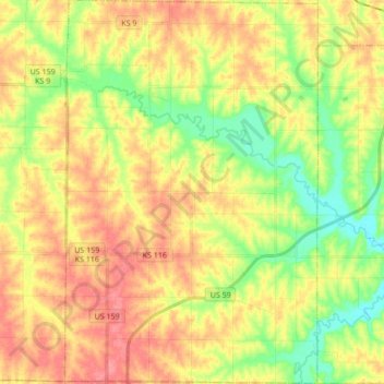
Name: Center Township topographic map, elevation, terrain.
Average elevation: 326 m
Minimum elevation: 289 m
Maximum elevation: 360 m
Other topographic maps
Click on a map to view its topography, its elevation and its terrain.
Benton Township
United States > Kansas > Atchison County
Benton Township, Atchison County, Kansas, 66023, United States
Average elevation: 330 m
Warnock Lake
United States > Kansas > Atchison County > Atchison
Warnock Lake, Atchison, Atchison County, Kansas, United States
Average elevation: 294 m