
群力 topographic map
Interactive map
Click on the map to display elevation.
About this map
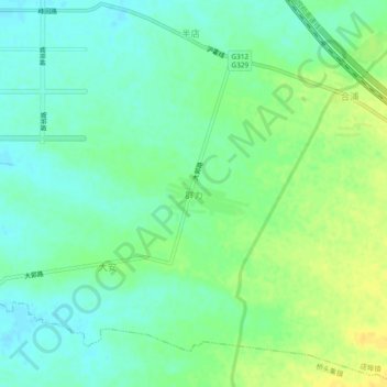
Name: 群力 topographic map, elevation, terrain.
Location: 群力, 合肥市, 安徽省, 中国 (31.82094 117.50803 31.86094 117.54803)
Average elevation: 27 m
Minimum elevation: 17 m
Maximum elevation: 40 m
Other topographic maps
Click on a map to view its topography, its elevation and its terrain.