
Thank you for supporting this site ❤️
Make a donation
Make a donation
Nesbyen topographic map
Click on the map to display elevation.
Thank you for supporting this site ❤️
Make a donation
Make a donation
About this map
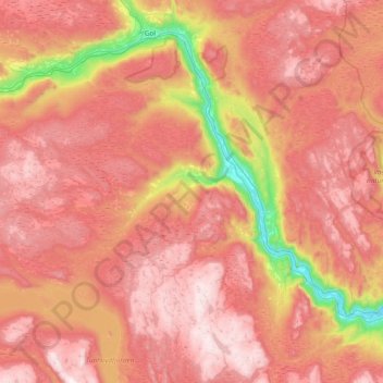
Name: Nesbyen topographic map, elevation, terrain.
Location: Nesbyen, Viken, 3540, Norway (60.39324 8.68145 60.70117 9.43519)
Average elevation: 842 m
Minimum elevation: 136 m
Maximum elevation: 1,339 m
Thank you for supporting this site ❤️
Make a donation
Make a donation