
Taief topographic map
Interactive map
Click on the map to display elevation.
About this map
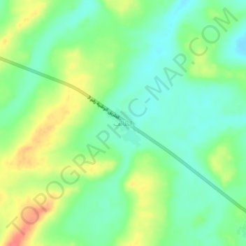
Name: Taief topographic map, elevation, terrain.
Location: Taief, Assaba, Mauritania (16.74003 -11.66237 16.78003 -11.62237)
Average elevation: 177 m
Minimum elevation: 154 m
Maximum elevation: 215 m