
Carver topographic map
Interactive map
Click on the map to display elevation.
About this map
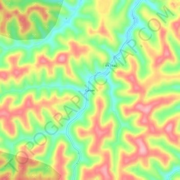
Name: Carver topographic map, elevation, terrain.
Location: Carver, Magoffin County, Kentucky, United States (37.62121 -83.07017 37.66121 -83.03017)
Average elevation: 347 m
Minimum elevation: 273 m
Maximum elevation: 421 m
Other topographic maps
Click on a map to view its topography, its elevation and its terrain.
Burning Fork
United States > Kentucky > Magoffin County > Burning Fork
Burning Fork, Magoffin County, Kentucky, 41465, United States
Average elevation: 312 m
Salyersville
United States > Kentucky > Magoffin County
Salyersville, Magoffin County, Kentucky, United States
Average elevation: 298 m