
姜冬 topographic map
Interactive map
Click on the map to display elevation.
About this map
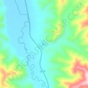
Name: 姜冬 topographic map, elevation, terrain.
Location: 姜冬, 若尔盖县, 阿坝藏族羌族自治州, 四川省, 624500, 中国 (33.44879 103.15573 33.48879 103.19573)
Average elevation: 3,617 m
Minimum elevation: 3,512 m
Maximum elevation: 3,917 m
Other topographic maps
Click on a map to view its topography, its elevation and its terrain.