
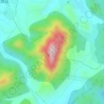
铜官山 topographic map
Interactive map
Click on the map to display elevation.
About this map
Name: 铜官山 topographic map, elevation, terrain.
Location: 铜官山, 大通镇, 郊区, 铜陵市, 安徽省, 中国 (30.89920 117.81773 30.89930 117.81783)
Average elevation: 147 m
Minimum elevation: 39 m
Maximum elevation: 467 m
Other topographic maps
Click on a map to view its topography, its elevation and its terrain.