
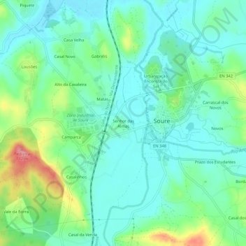
Senhor das Almas topographic map
Interactive map
Click on the map to display elevation.
About this map
Name: Senhor das Almas topographic map, elevation, terrain.
Location: Senhor das Almas, Soure, Coimbra, 3130-519, Portugal (40.03906 -8.65453 40.07906 -8.61453)
Average elevation: 32 m
Minimum elevation: 4 m
Maximum elevation: 108 m
Other topographic maps
Click on a map to view its topography, its elevation and its terrain.