
Thank you for supporting this site ❤️
Make a donation
Make a donation
Eindeken topographic map
Click on the map to display elevation.
Thank you for supporting this site ❤️
Make a donation
Make a donation
About this map
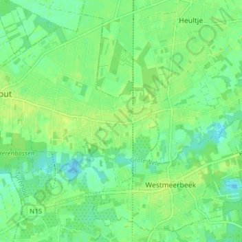
Name: Eindeken topographic map, elevation, terrain.
Location: Eindeken, Hulshout, Turnhout, Antwerpen, 2235, België (51.05081 4.80212 51.09081 4.84212)
Average elevation: 11 m
Minimum elevation: 4 m
Maximum elevation: 16 m
Thank you for supporting this site ❤️
Make a donation
Make a donation
Other topographic maps
Click on a map to view its topography, its elevation and its terrain.