
Lekaf topographic map
Interactive map
Click on the map to display elevation.
About this map
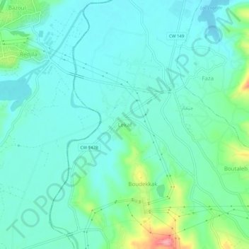
Name: Lekaf topographic map, elevation, terrain.
Location: Lekaf, Chekfa, Daïra Chekfa, Jijel, 18003, Algérie (36.77668 5.91799 36.81668 5.95799)
Average elevation: 26 m
Minimum elevation: 0 m
Maximum elevation: 123 m