
Country topographic map
Click on the map to display elevation.
About this map
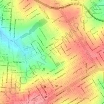
Name: Country topographic map, elevation, terrain.
Location: Country, Cascavel, Paraná, South Region, Brazil (-24.95004 -53.46208 -24.93284 -53.44132)
Average elevation: 739 m
Minimum elevation: 670 m
Maximum elevation: 783 m