
Коммунар topographic map
Interactive map
Click on the map to display elevation.
About this map
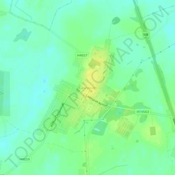
Name: Коммунар topographic map, elevation, terrain.
Average elevation: 142 m
Minimum elevation: 133 m
Maximum elevation: 153 m
Other topographic maps
Click on a map to view its topography, its elevation and its terrain.
Зимник
Беларусь > Гомельская область > Буда-Кошелёвский район > Коммунаровский сельский Совет
Зимник, Коммунаровский сельский Совет, Буда-Кошелёвский район, Гомельская область, Беларусь
Average elevation: 140 m