
Thank you for supporting this site ❤️
Make a donation
Make a donation
Han topographic map
Click on the map to display elevation.
Thank you for supporting this site ❤️
Make a donation
Make a donation
About this map
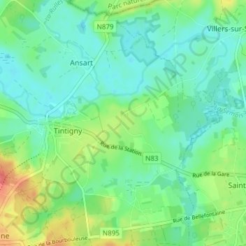
Name: Han topographic map, elevation, terrain.
Location: Han, Tintigny, Virton, Luxembourg, Wallonie, 6730, Belgique (49.66329 5.51244 49.70329 5.55244)
Average elevation: 341 m
Minimum elevation: 323 m
Maximum elevation: 381 m
Thank you for supporting this site ❤️
Make a donation
Make a donation
Other topographic maps
Click on a map to view its topography, its elevation and its terrain.