
Beuvron-en-Auge topographic map
Interactive map
Click on the map to display elevation.
About this map
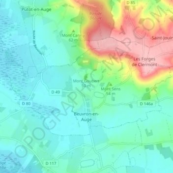
Name: Beuvron-en-Auge topographic map, elevation, terrain.
Average elevation: 39 m
Minimum elevation: 1 m
Maximum elevation: 144 m
Other topographic maps
Click on a map to view its topography, its elevation and its terrain.
Saint-Martin-de-Fontenay
France > Normandy > Calvados > Saint-Martin-de-Fontenay > Saint-Martin-de-Fontenay
Average elevation: 48 m