
Thank you for supporting this site ❤️
Make a donation
Make a donation
Eching topographic map
Click on the map to display elevation.
Thank you for supporting this site ❤️
Make a donation
Make a donation
About this map
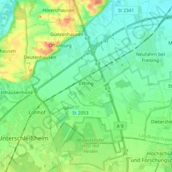
Name: Eching topographic map, elevation, terrain.
Location: Eching, Landkreis Freising, Bavaria, 85386, Germany (48.26572 11.57155 48.33155 11.69808)
Average elevation: 472 m
Minimum elevation: 453 m
Maximum elevation: 521 m
Thank you for supporting this site ❤️
Make a donation
Make a donation
Other topographic maps
Click on a map to view its topography, its elevation and its terrain.