
Omdurman topographic map
Interactive map
Click on the map to display elevation.
About this map
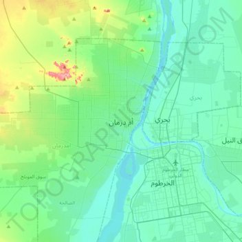
Name: Omdurman topographic map, elevation, terrain.
Location: Omdurman, Khartoum State, -, Sudan (15.48455 32.31773 15.80455 32.63773)
Average elevation: 395 m
Minimum elevation: 372 m
Maximum elevation: 494 m