
Port Angeles topographic map
Interactive map
Click on the map to display elevation.
About this map
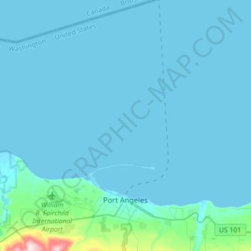
Name: Port Angeles topographic map, elevation, terrain.
Average elevation: 27 m
Minimum elevation: -6 m
Maximum elevation: 501 m
Other topographic maps
Click on a map to view its topography, its elevation and its terrain.
Forks
Vereinigte Staaten von Amerika > Washington > Clallam County
Forks, Clallam County, Washington, Vereinigte Staaten von Amerika
Average elevation: 113 m