
Pyrenäen topographic map
Interactive map
Click on the map to display elevation.
About this map
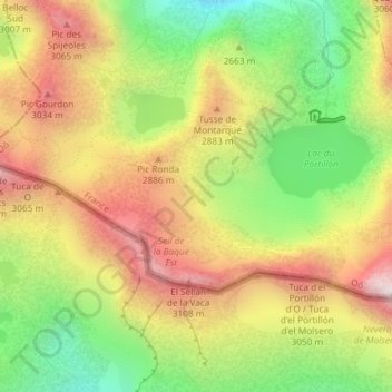
Name: Pyrenäen topographic map, elevation, terrain.
Average elevation: 2,716 m
Minimum elevation: 2,265 m
Maximum elevation: 3,168 m
Topographische Karte der Pyrenäen