
武威市 topographic map
Interactive map
Click on the map to display elevation.
About this map
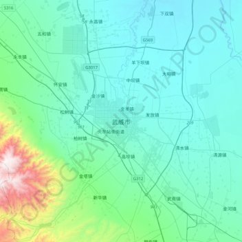
Name: 武威市 topographic map, elevation, terrain.
Location: 武威市, 凉州区, 武威市, 甘肃省, 中国 (37.76888 102.47599 38.08888 102.79599)
Average elevation: 1,660 m
Minimum elevation: 1,462 m
Maximum elevation: 2,904 m
Other topographic maps
Click on a map to view its topography, its elevation and its terrain.